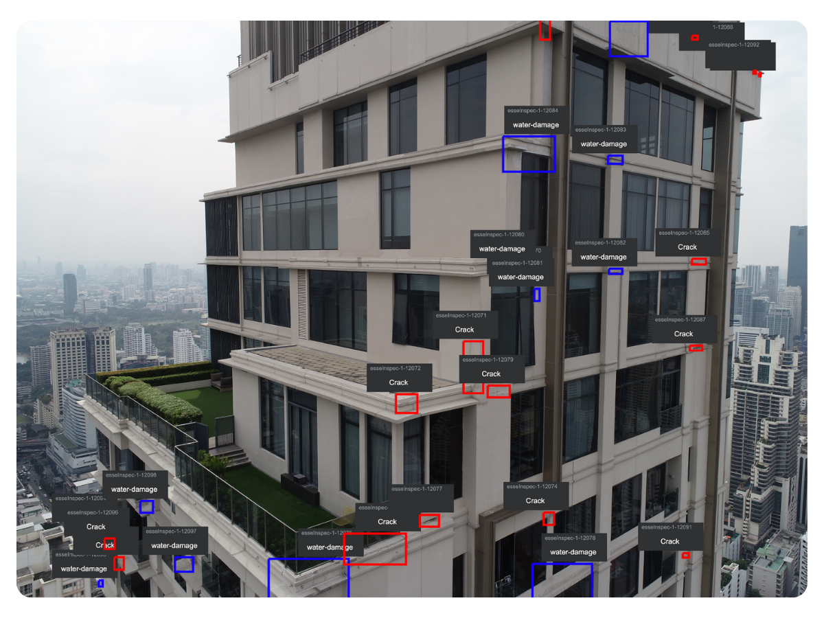
ASTM-standard inspections with drone imagery, AI, and licensed engineers—delivering repair strategies that prevent million-dollar mistakes.
Request Pavement StudyView Sample Study


Drone imagery (0.2 in/pixel) captures cracks revealing early-stage distress patterns that field inspections often overlook.
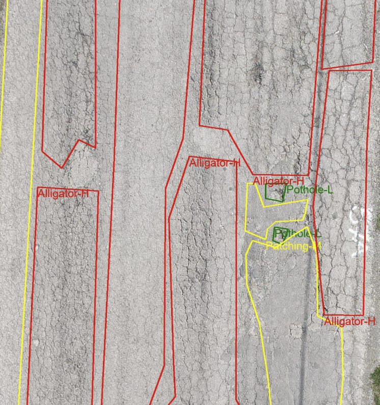
Deficiencies classified against ASTM D6433 PCI standards (120+ types/severities).
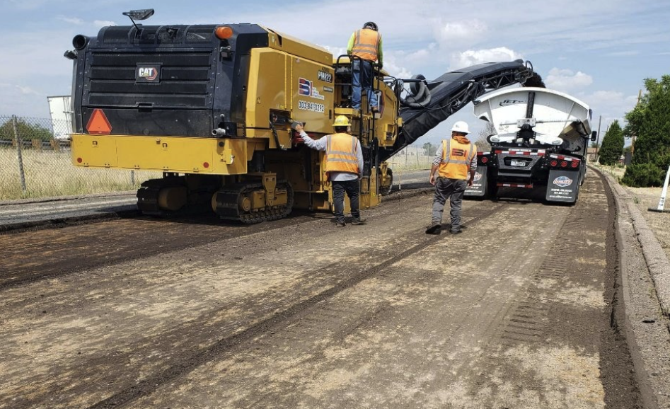
Preventive vs. corrective techniques—surface seals, overlays, or full-depth repair—matched to actual distress type.

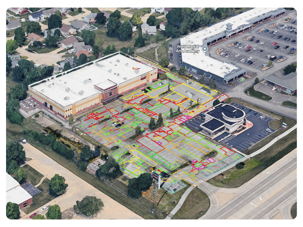
PCI maps to identify hot repair spots and guide construction phasing analysis.

Google Earth/KML overlays, PCI scores (0–100), crack maps, and repair quantities.

FAA apron/runway standards + ADA slope/striping checks for facilities and campuses.
Manual counts miss context. Site visits burn hours. Decisions get delayed.
We fix that with drone-powered, ASTM-standard inspections that turn every site into a data-driven maintenance plan.

Deferred Repairs = Exploding Costs → $75 crack seal ignored can balloon to $5M+ in reconstruction.

Wrong Fix = Wasted Budget → Mistaking fatigue cracking for block cracking leads to premature failure and change orders.

Slow Decisions = Risk → Traditional inspections take weeks. Drone + engineer workflow delivers PCI scores and reports as fast as 48–72 hours.


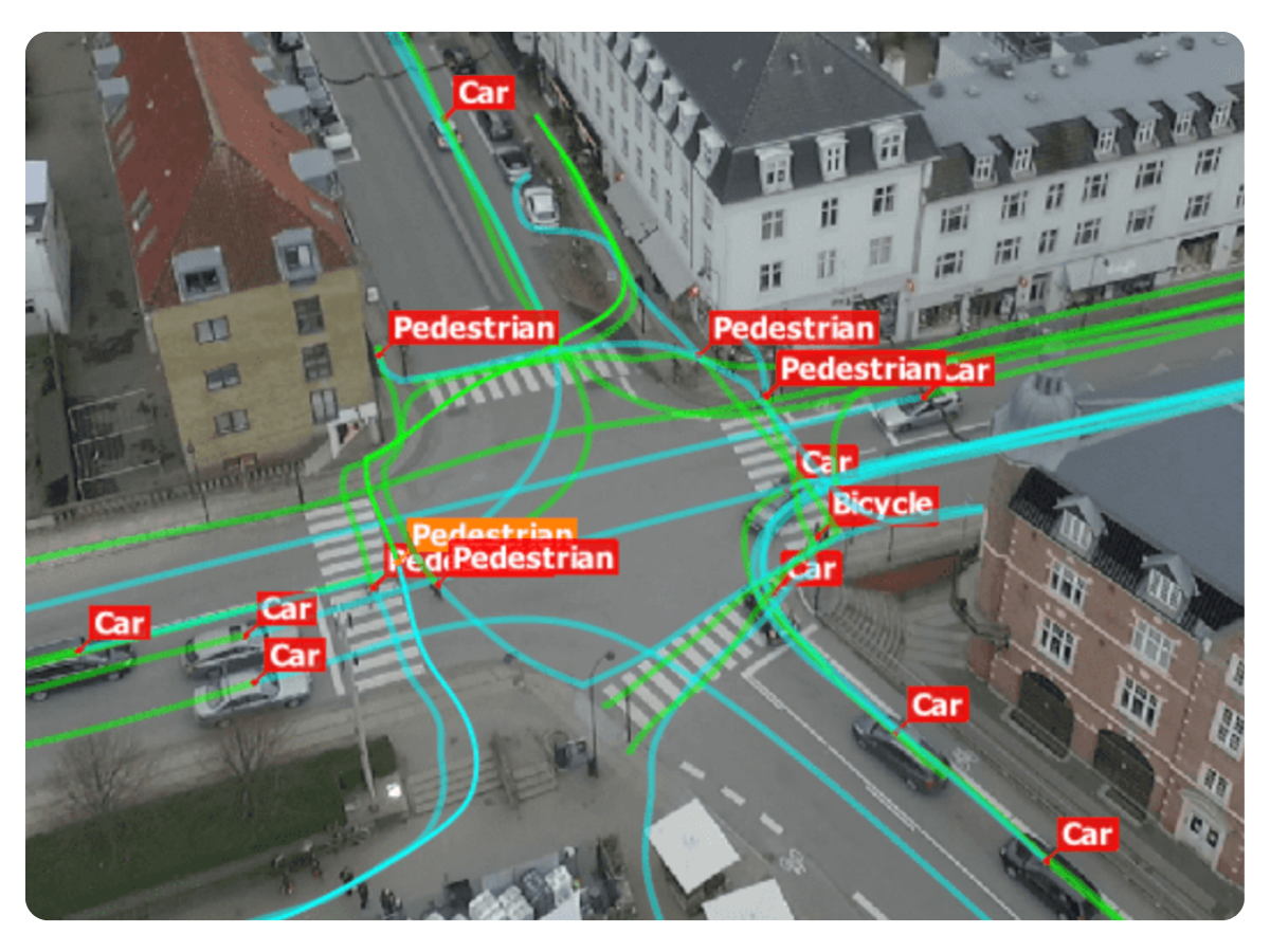
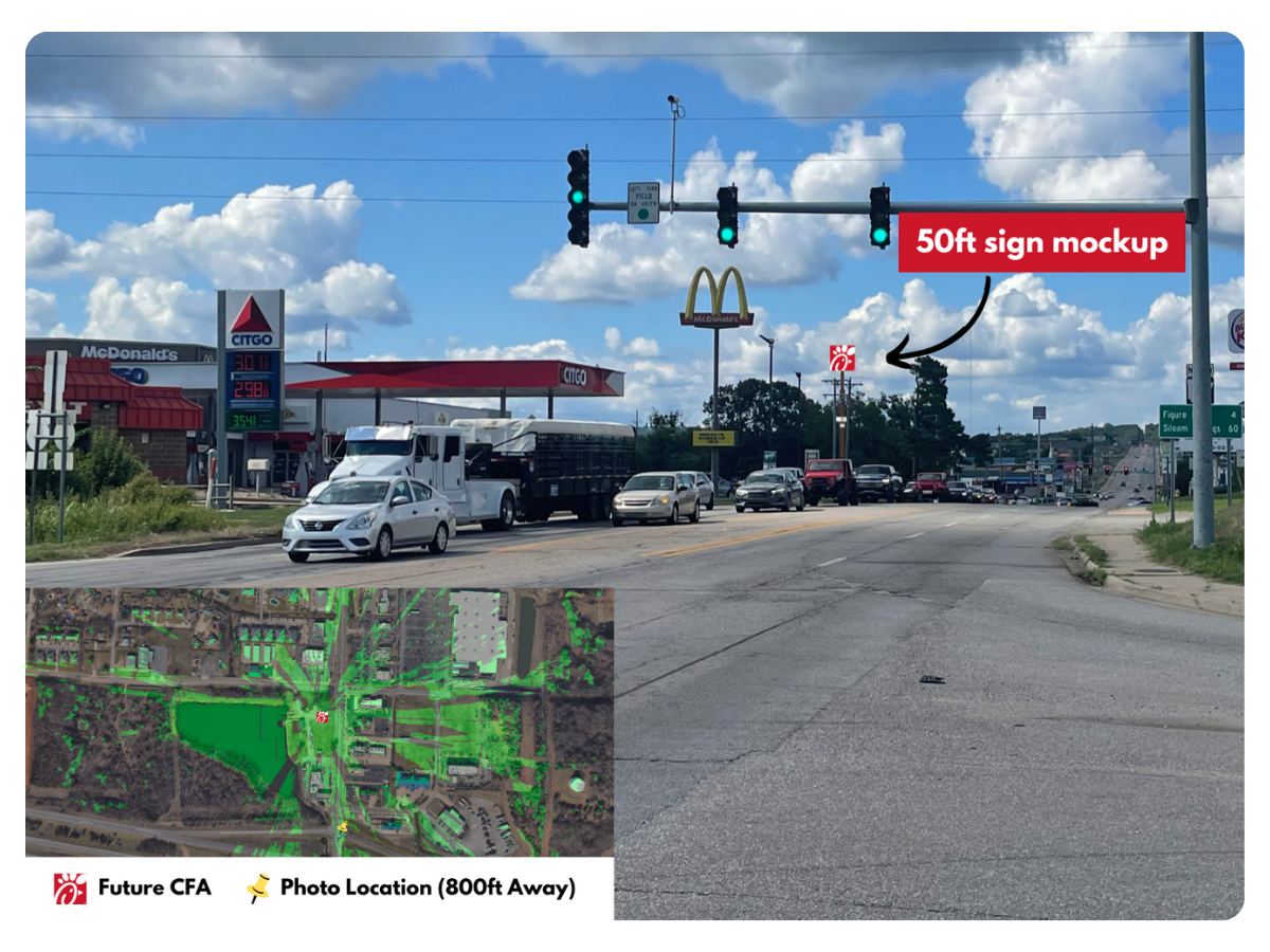
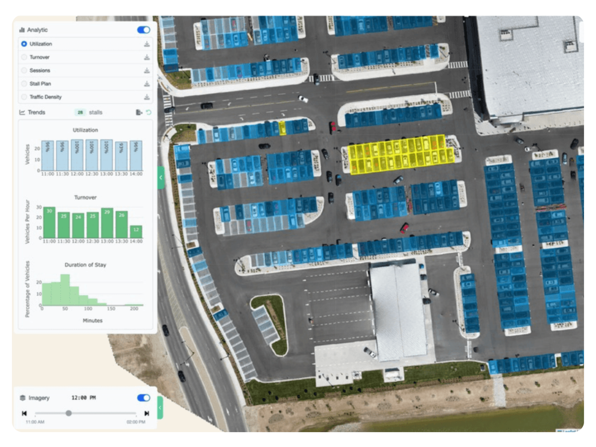
Understand traffic volume, turning movements, and behavior before investing capital.
See Example Project →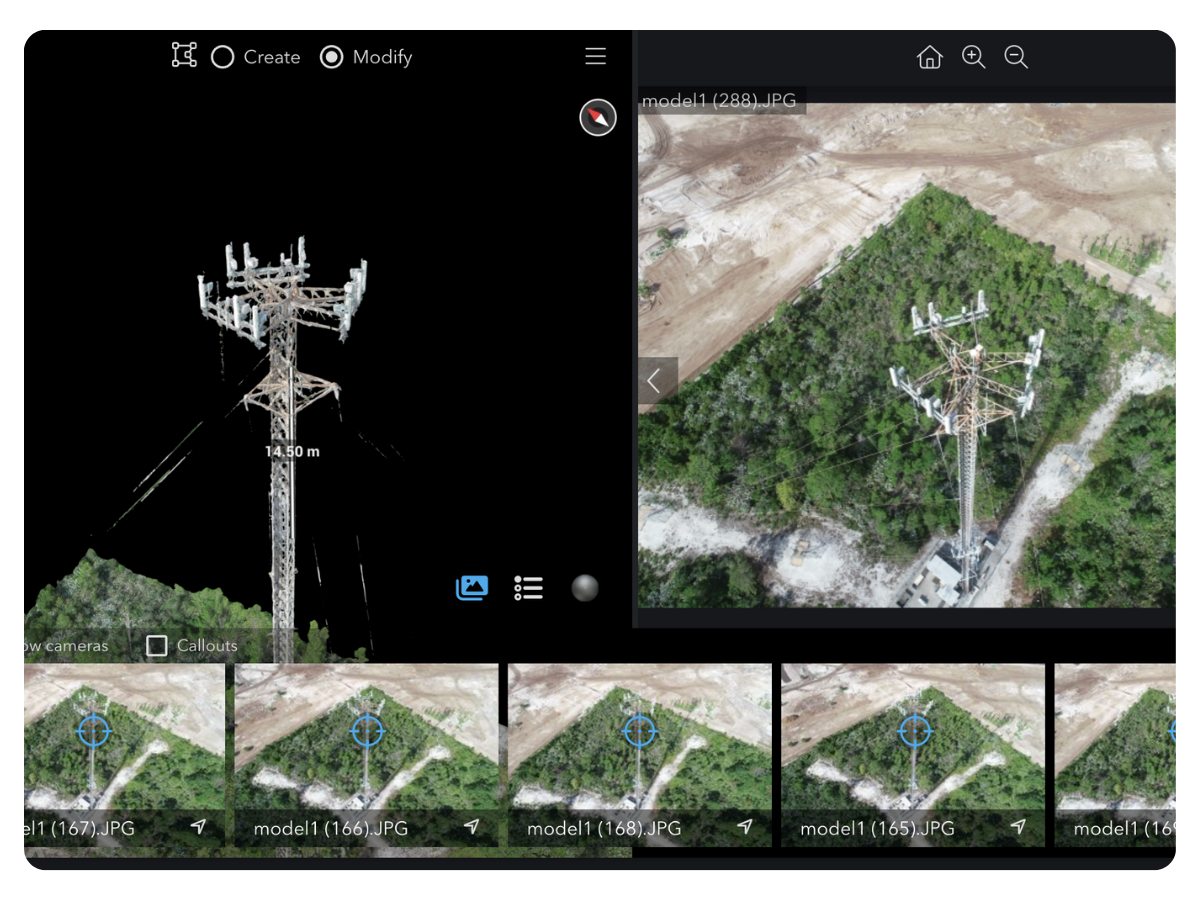
Prevent outages and failed installs with accurate, inspection-grade tower data.
Request Tower Data →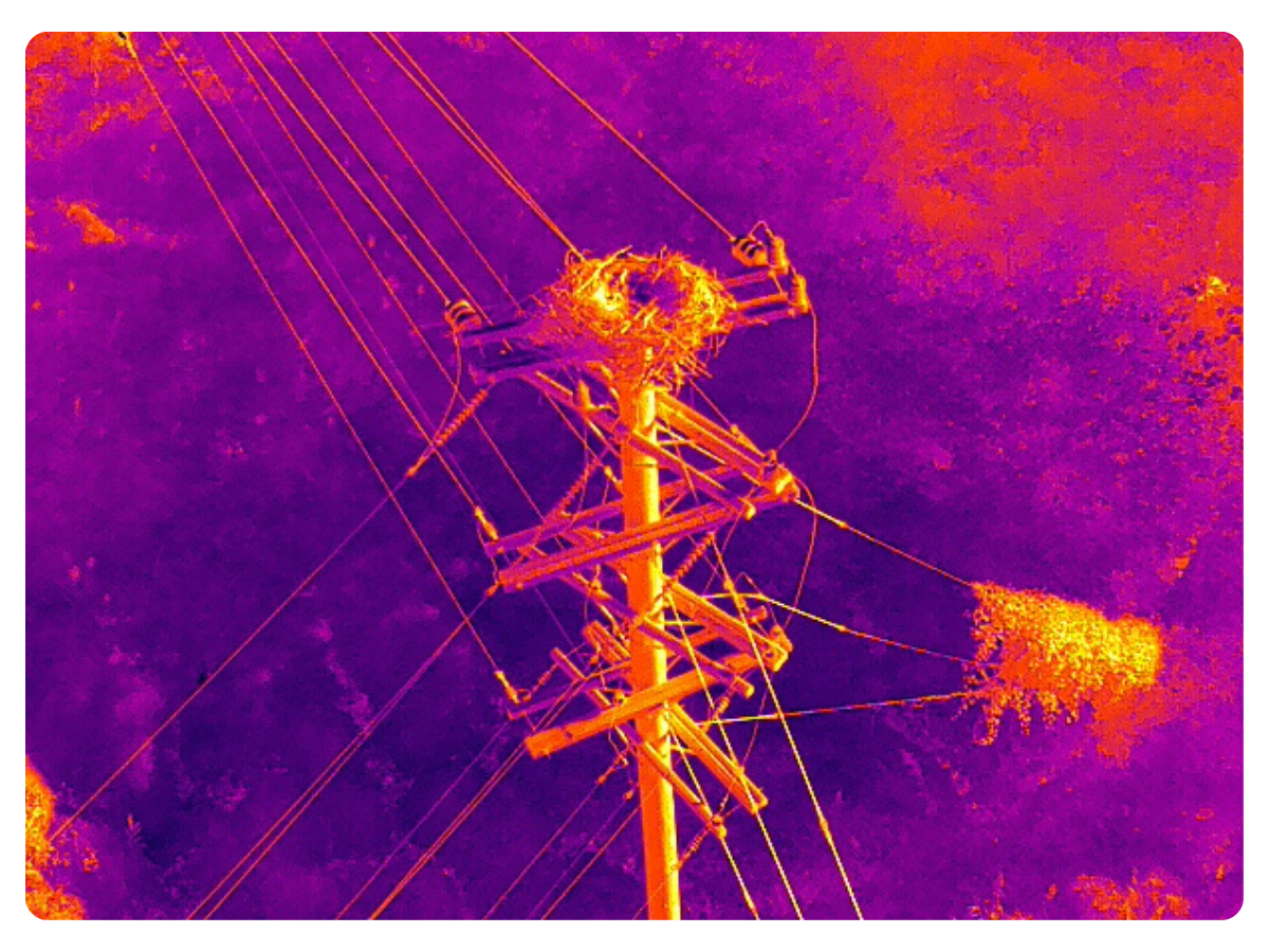
Find defects and clearance risks early to avoid outages and emergency repairs.
Request Pole Data →
.png)