


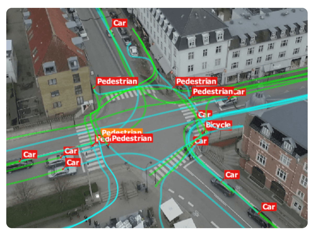
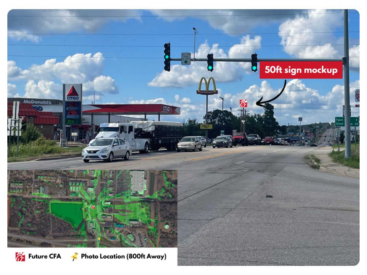
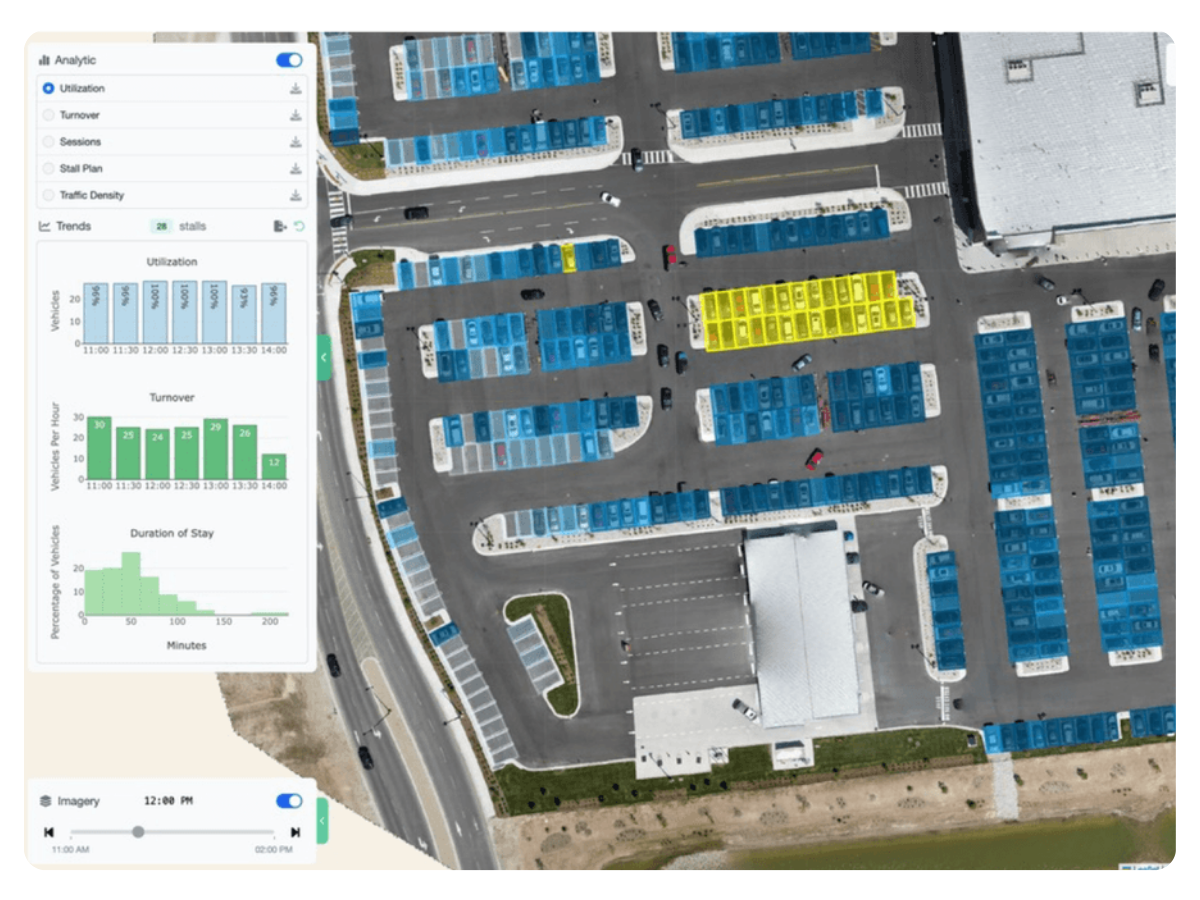
Understand traffic volume, turning movements, and behavior before investing capital.
See Example Project →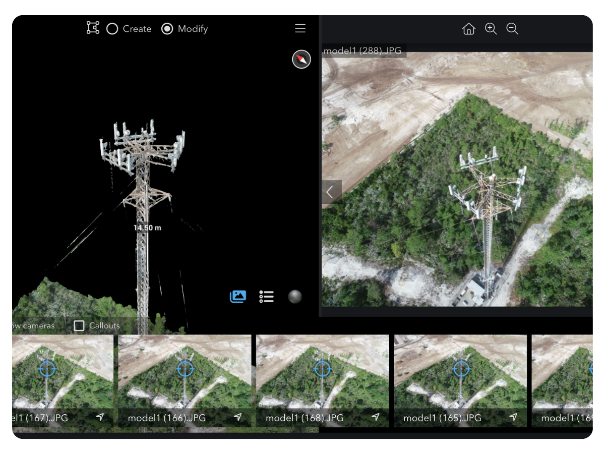
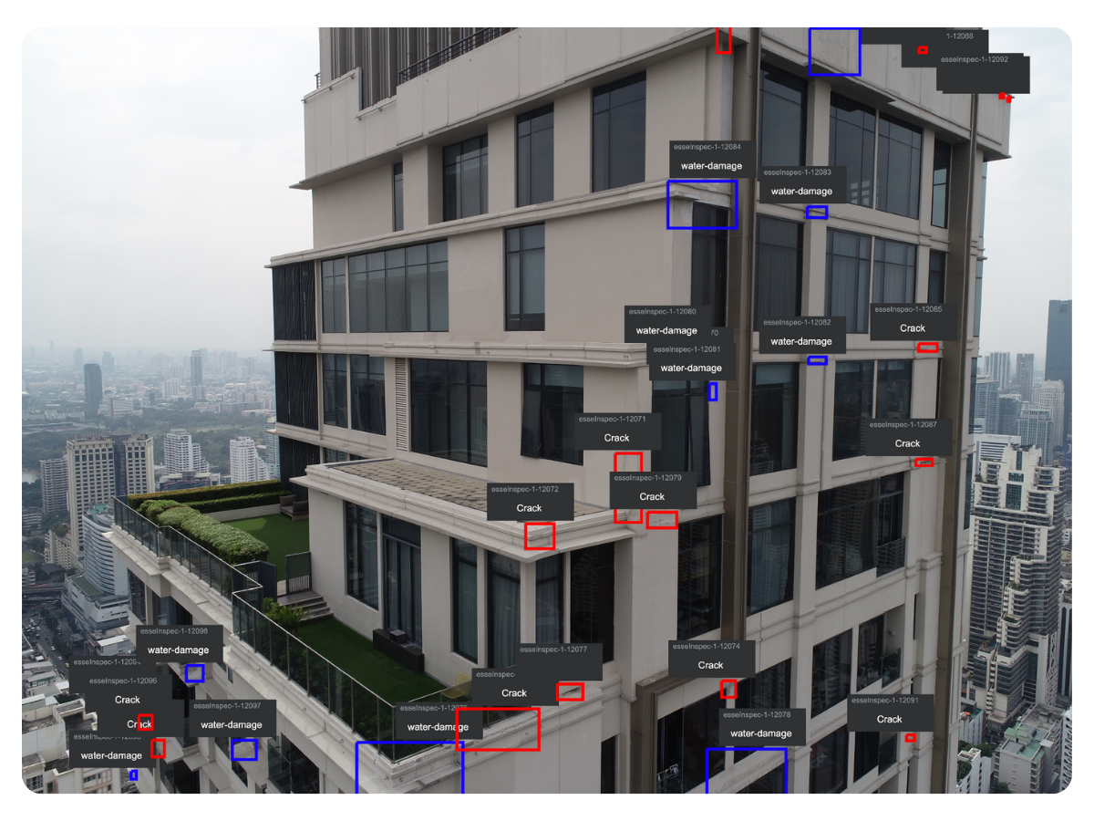
Prevent outages and failed installs with accurate, inspection-grade tower data.
Request Tower Data →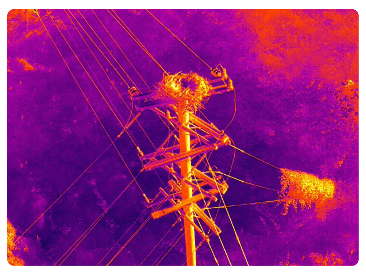
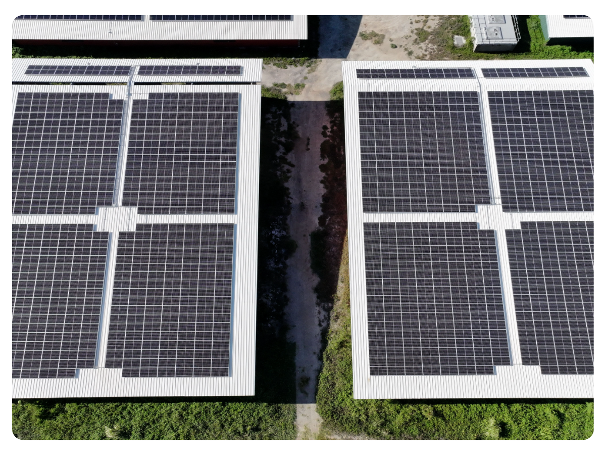
Find defects and clearance risks early to avoid outages and emergency repairs.
Request Pole Data →


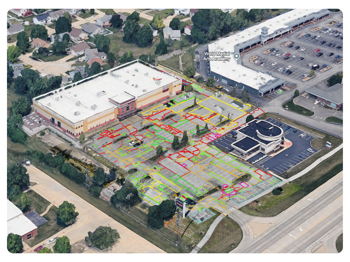
.png)